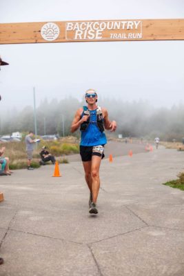
Summary: The Backcountry Rise 50K consists of one clockwise loop offering views of Mt. Rainier, Mt. Adams, Mt. St. Helens and Mt. Hood, as well as Mt. Margaret Backcountry and its many lakes, creeks, craggy ridgelines and miles of single-track trails. Approximately 98% of the course is on single-track trails and the course offers four full aid stations.
Lessons Learned from Race Reports
- Lots of exposed trail, so be ready for sun and heat, and other elements if the weather is windy or rainy
- Aid stations are fairly far apart, so be sure to carry enough fueling, especially water
- Very dry conditions on the trail and lots of ash (being near Mt. St. Helens) so be ready for hot, dry, dusty conditions
Elevation
Total gain/loss: 7500/7500
Total climbs: 3 major (1×2750, 1×1500, 1×650) and many minor
Longest climb: 2750 feet in 5 miles
Steepest climb: 1500 feet in 3 miles
Aid stations
Total aid stations: 4
Furthest distance apart: 8.3 miles
Locations: 4.6, 12.8, 20, 25.7
What’s available: Typical trail race food items: Bananas, oranges, chips, PB&J, Skout gels and bars, CarboPro, soda, water and other sweet stuff. Aid stations are CUPLESS!
Crew access
Hike-in access only, no driving to trailheads
Pacers
None
Race qualifiers
UTMB – 3 points
Race reports

Backcountry Rise 50k Race Report – Kim C
Backcountry Rise 50k Race Report – Frank Fisher

Backcountry Rise 50k Race Report – Marc
Strava activities and GPX files
https://www.strava.com/activities/1176490655/overview
https://www.strava.com/activities/1176487586
Race Website
https://www.daybreakracing.com/backcountry-rise-50k/
Prepping for your first ultra? Check out our 7 Steps Towards Running your First Ultra